
Posted on October 24, 2026
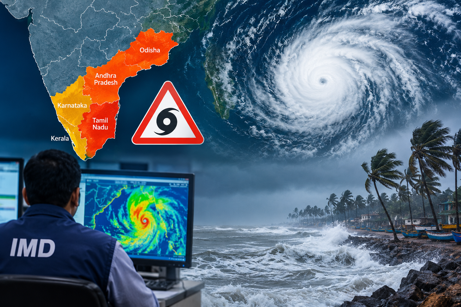
The Bay of Bengal Cyclone Alert has raised concerns across southern and eastern India as the India Meteorological Department (IMD) monitors a developing weather system over the Bay of Bengal. The system could intensify by October 26, 2026, and move towards the north Andhra Pradesh and adjoining south Odisha coasts. Residents in vulnerable areas should follow official weather advisories and prepare for possible heavy rainfall, thunderstorms and strong winds.
The emergence of the weather system has aroused some interests since it can lead to rainfall, thunderstorm and wind to the susceptible coastal region. Tamil Nadu, Kerala, Karnataka, Andhra Pradesh, and Odisha will be experiencing varying levels of rainfall dangers within the next few days. West Bengal may also be subjected to changes in weather due to the system.
It is worthy to note that the emergence of a low-pressure system does not necessarily mean that the system will form into a cyclone and its landing location.
Bay of Bengal Weather System: What the IMD Forecast Says
The Bay of Bengal Cyclone Alert highlights a developing depression that could intensify into a cyclonic storm. The system is likely to move west-northwestwards towards the north Andhra Pradesh and south Odisha coasts. Its intensity, movement and potential impact will depend on further developments over the coming days.
As per the October 24 forecast, the system might become stronger till October 26. Moreover, the developing system is also likely to affect the pattern of precipitation in some parts of eastern India like West Bengal, where heavy rains can start in some districts from October 28 onwards.
Northeast Monsoon is already underway in Tamil Nadu, Puducherry, Karaikal, coastal Andhra Pradesh, Rayalaseema, South Interior Karnataka, Kerala and Mahe regions.
According to the IMD prediction, there could be isolated very heavy showers in Tamil Nadu, Puducherry, and Karaikal from October 24 to 26. On October 24 and 25, Kerala and Mahe could also have such conditions. In Coastal Andhra Pradesh and Yanam, there is a chance of very heavy showers on October 27 and 28.
In Odisha, there will be widespread showers from October 26 to 28, while there could be isolated heavy showers late in the duration. There will be thundersqualls in Odisha on October 27 and 28, along with winds blowing at 50-60 kmph and gusting up to 70 kmph.
This forecast might get revised after getting fresh observations from the meteorologists. People should verify the latest warnings for their districts.
Heavy Rain Alert: Coastal Safety Tips
This weather system will have an impact on the lives of people in many different ways. Heavy rainfall can cause overflow of drainage system, floods of low lying roads and decrease the visibility on highways. There can be wind storms too, which will damage temporary shelters and other loose things and disrupt coastal activities.
People residing in cities and towns where there is forecast of heavy showers must make sure that their drainage outlets in the vicinity are cleared if possible, avoid underpasses and store important things easily accessible. They must drive slowly when visibility decreases and refrain from driving through flood water in motion.
People living near riverbanks, beaches and low-lying coastal areas should follow announcements issued by local authorities. Fishermen must observe official restrictions and avoid venturing into the sea during adverse weather conditions. The IMD has advised fishermen in the affected areas to remain ashore from October 26 onwards.
Farmers can mitigate weather damages through draining fields, protecting their harvests, and avoiding spraying when there is rain or strong winds. Other citizens should also charge their phones, make sure that emergency contact numbers are available and ready their medicine in case local government units issue warnings.
Thunderstorms demand special precautions. People should go indoors when lightning starts striking, avoiding wide open spaces and being away from isolated trees, rooftops and electrical poles. It is necessary to fasten all loose furniture, sign boards and other things outside the house before the strong winds come.
People travelling should make sure that trains, flights and roads are okay before leaving, especially if they are going to areas near the coasts. Even businesses in these areas might need to check their plans for emergencies.
The most critical action would be to understand the difference between a warning and the regular weather report. Cyclone watches, heavy rain warning and landfall forecast all convey a different message.
What Happens Next?
The Bay of Bengal Cyclone Alert remains important as meteorologists continue to monitor the developing weather system. Its movement towards the Andhra Pradesh and Odisha coasts could affect rainfall patterns and wind conditions in neighbouring regions. Residents should follow official IMD updates for the latest forecasts and safety advisories.
The situation requires readiness instead of panicking. People can keep themselves safe from the possible impacts of the cyclone only by being well-informed, avoiding going out in case of bad weather, and following instructions from authorities regarding any kind of evacuation or precautions to be taken.
Keep Weather-Ready: Follow IMD bulletins and advisories issued by the respective district administrations in your region for the updates on cyclone tracking, district-wise rainfall warnings, and precautionary measures.